Digitale opmeting van uw woning of project.
Residentieel, commercieel of industrieel: snelle en accurate opmetingen voor elk project.
Win tijd en nauwkeurigheid
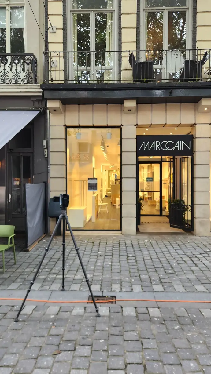
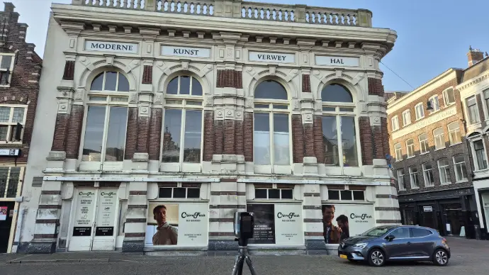
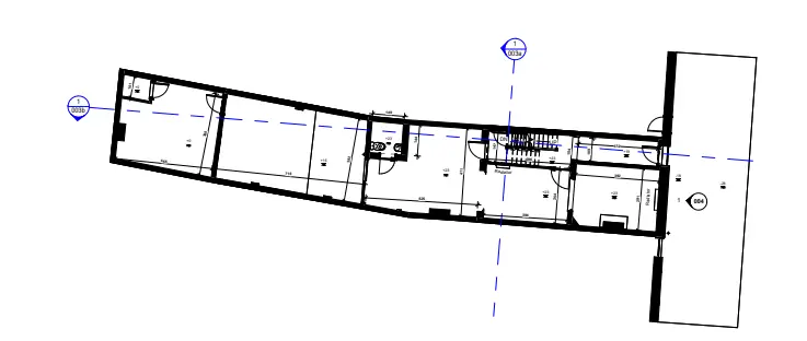
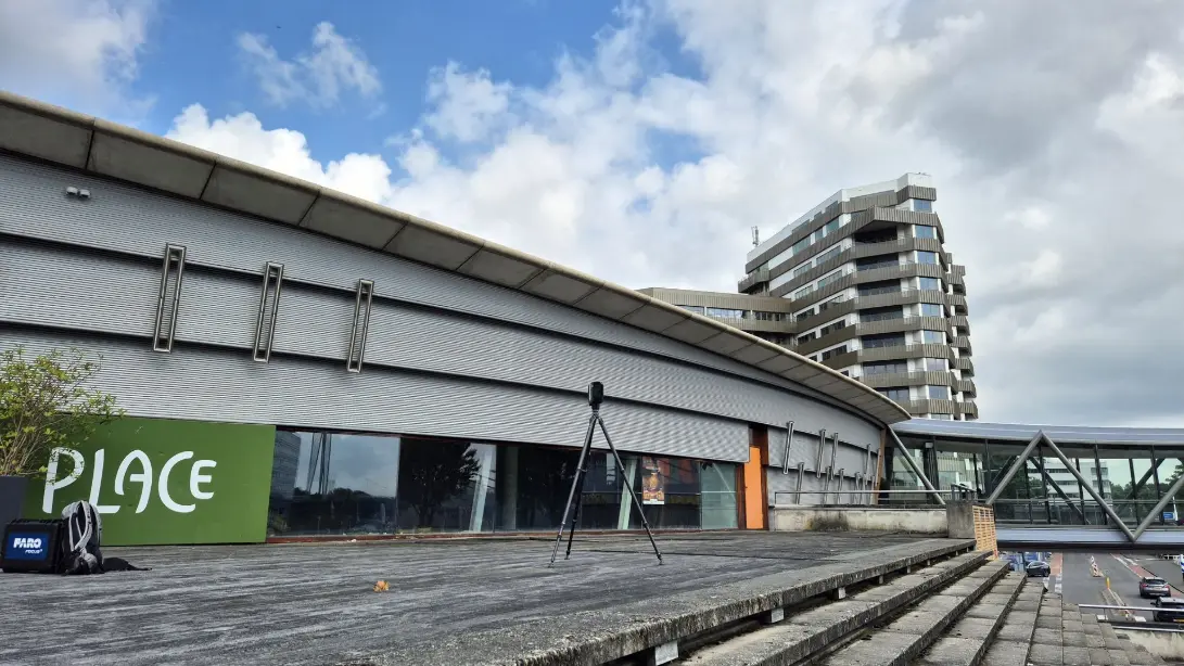
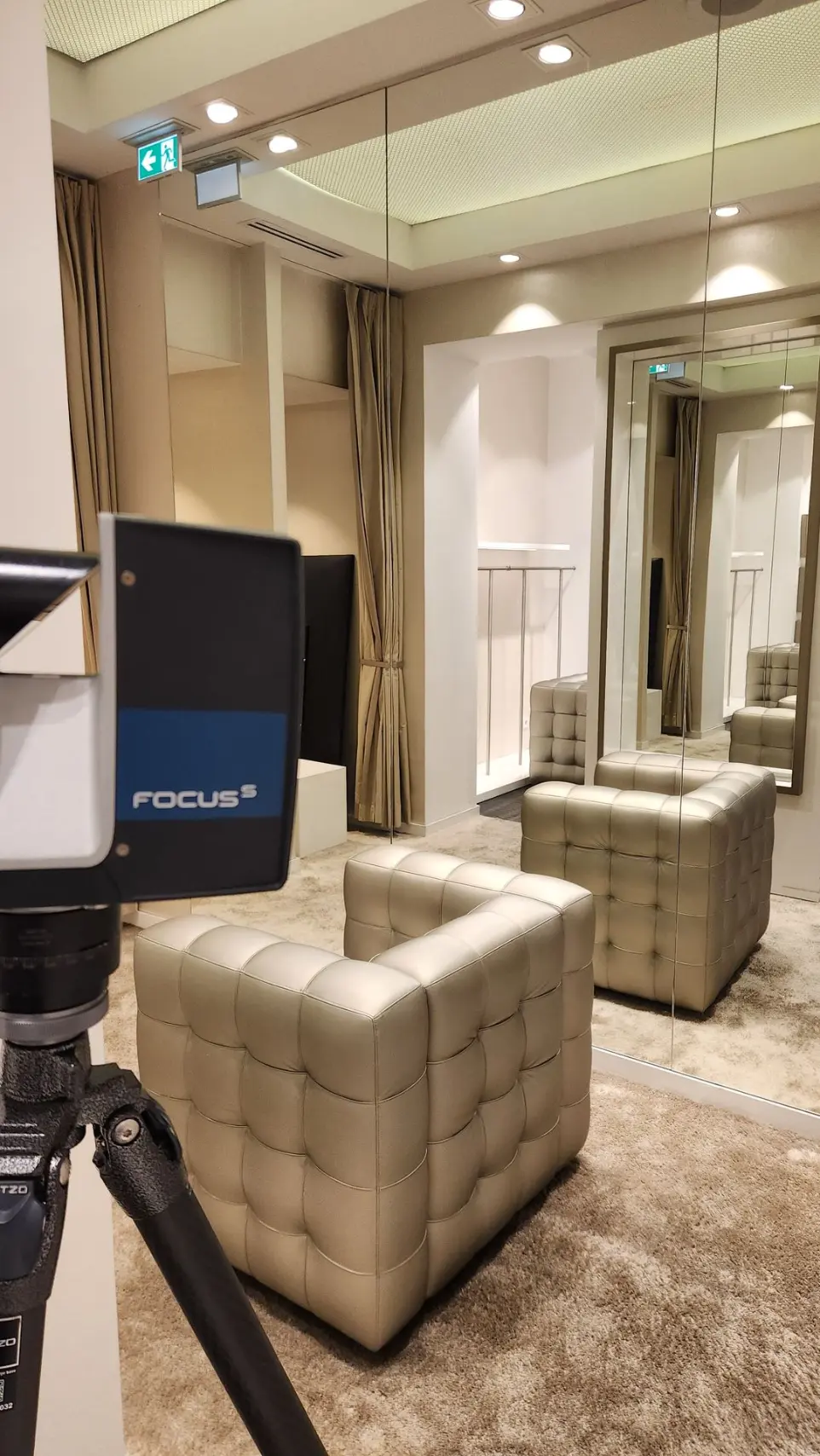
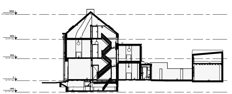
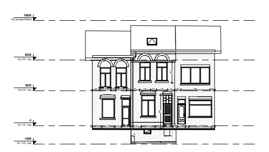
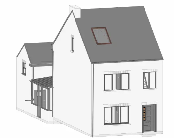
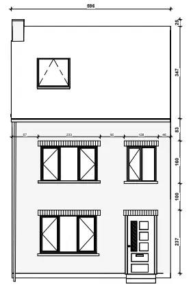
Wij komen ter plaatse om snel en nauwkeurig op te meten en leveren u de juiste snedes, aanzichten en materialen. Vertrouw op onze expertise om uw projecten met maximale efficiëntie en precisie te ondersteunen.
Contacten en referenties
Wij werken samen met toonaangevende bedrijven die de voordelen van 3D-scanning in hun processen willen integreren en zo hun concurrentiepositie willen versterken.
Maak gebruik van digitale innovatie
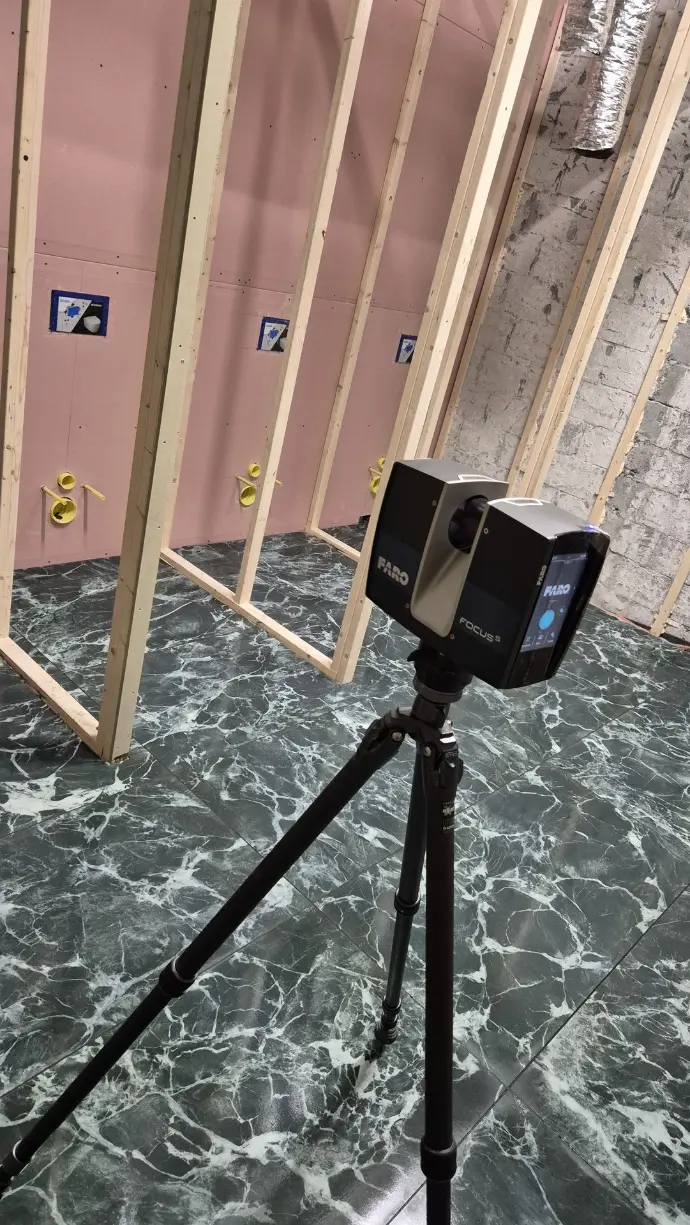
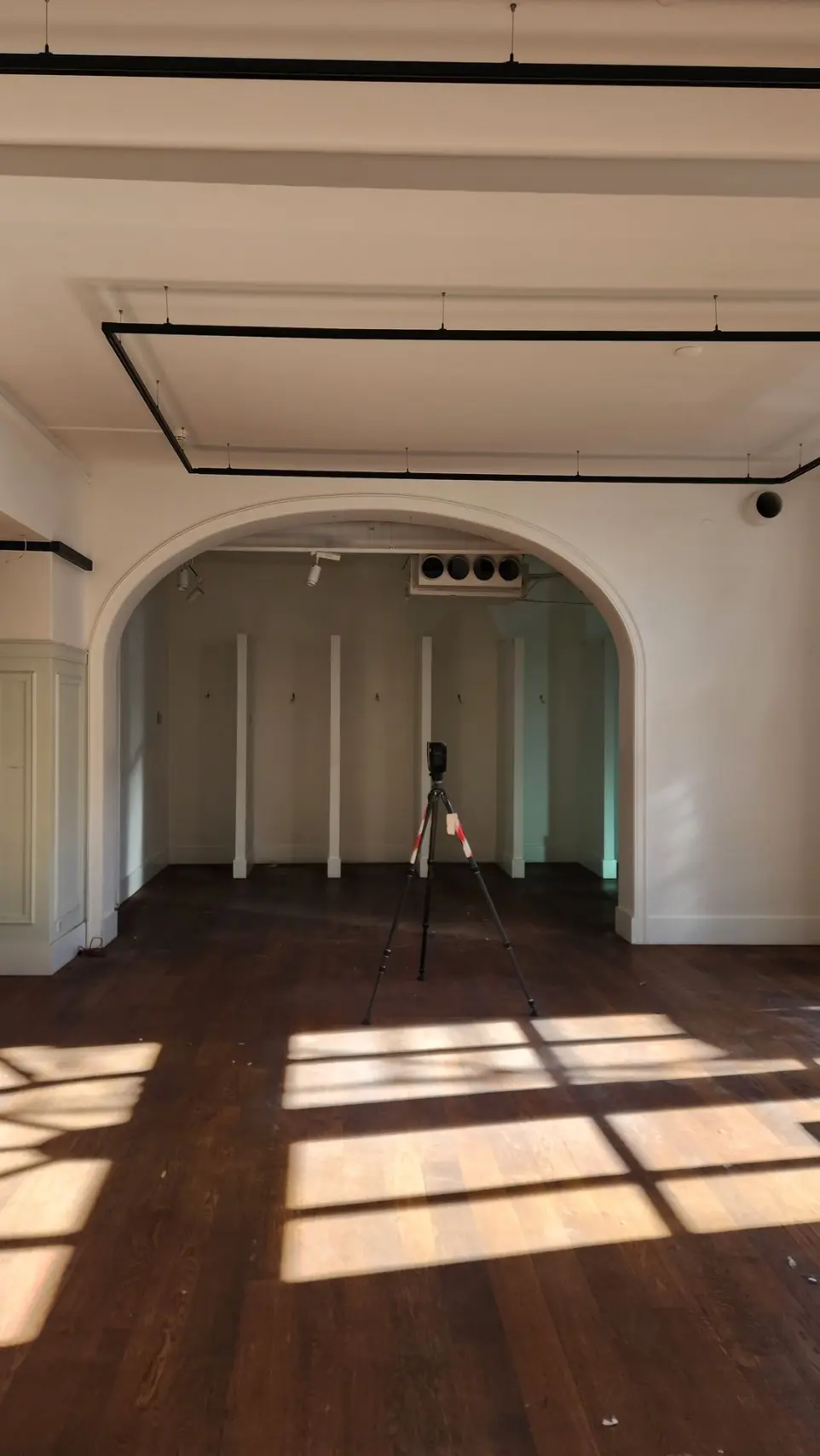
Een cruciaal voordeel van 3D-scanning is de uitzonderlijke nauwkeurigheid. Elke seconde worden miljoenen meetpunten vastgelegd, waardoor een gedetailleerd en nauwkeurig beeld ontstaat van elk element binnen uw project. Zo beschikt u over een extreem nauwkeurig model, onmisbaar voor het plannen van renovaties, uitbreidingen of nieuwe bouwprojecten. De foutmarges worden hiermee aanzienlijk gereduceerd, wat cruciaal is om misverstanden en fouten tijdens het bouwproces te minimaliseren